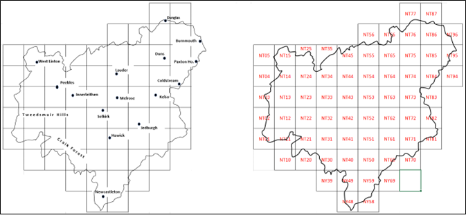
Borders Region
The Borders Region is made up of the old counties of Berwickshire, Peeblesshire, Roxburghshire and Selkirkshire.
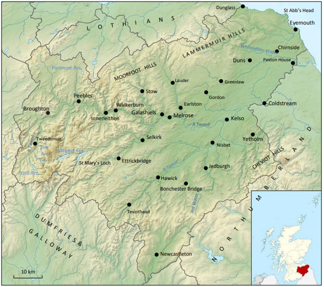
Its 4,732 sq km is largely drained by the R Tweed and its tributaries. The land rises from sea level on the North Sea coast to the higher ground in the north, west and south, reaching a maximum of 840 m at Broad Law in the Tweedsmuir Hills. Overall. The average altitude is over 270 m.
Habitats vary from coastal cliffs and arable land in the east to acid grasslands and coniferous forest in the uplands. River courses and waterbodies, along with some wetland areas, also make up an important element of the mosaic of habitats in Borders. Broadleaved woodland however, represents less than 5% of the total area.
Map of Borders Region (based on map supplied by Ordnance Survey)
The map below shows the location of the tetrads (4 km squares) that form the basis of site names in Borders. A list of all tetrads and their standardised names can be found here.